3D Terrestrial Laser Scanner
3D Terrestrial Laser Scanner
3D Terrestrial Laser Scanner
3D Terrestrial Laser Scanner
3D Terrestrial Laser Scanner
3D Terrestrial Laser Scanner
3D Terrestrial Laser Scanner
Description
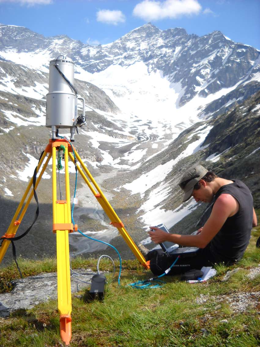
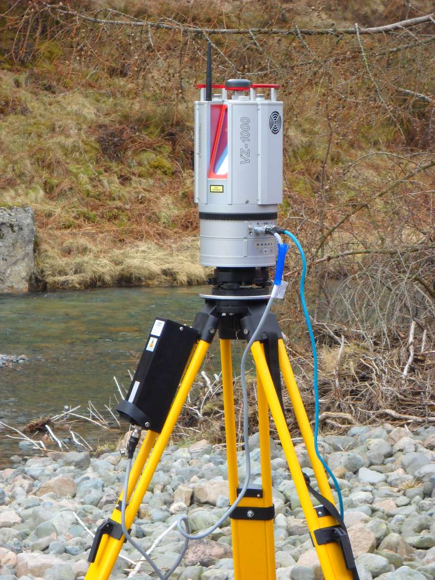
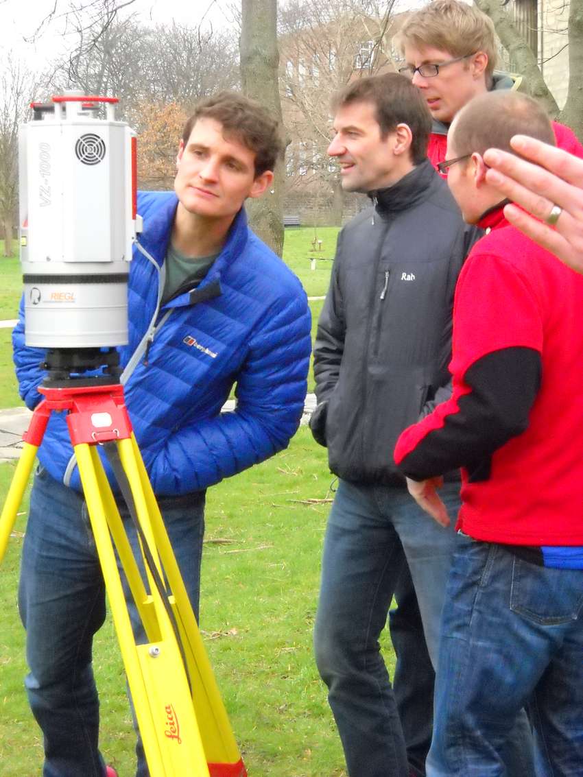
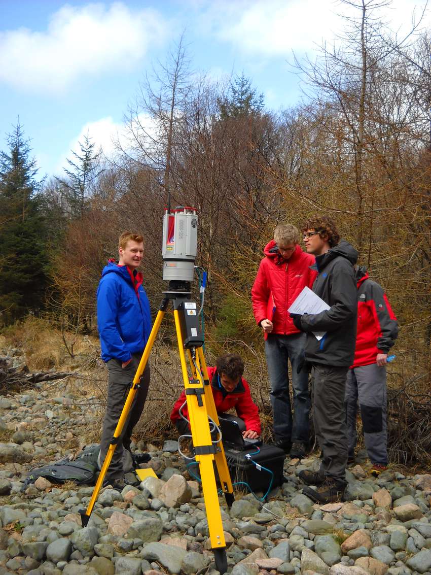
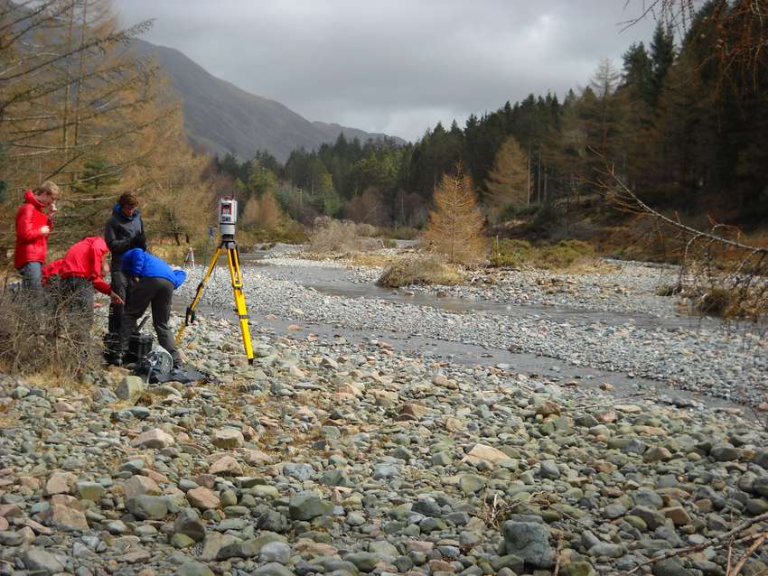
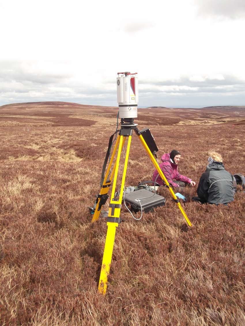
The RIEGL VZ-1000 3D terrestrial laser scanner, can collect data over a long range (up to 1400 m) using a narrow infrared laser beam and a fast scanning mechanism. Data acquisition is achieved rapidly, producing highly accurate and precise ranging. It can be applied to any 3D object or surface; for example surveys of natural topography, vegetation, laboratory surfaces and the built- environment. It is possible to have 'floating' or fully georeferenced point clouds. A user may use point clouds to create surfaces, and to calculate distance, areas and volumes, and surface characteristics (e.g. material properties such as roughness, reflectance etc.).
Details
| Manufacturer | RIEGL |
|---|---|
| Model No. | VZ-1000 |
| Serial No. | |
| Location | Field Store [1-086-0053-05FL-52K] |
| Identifier | 10107539 |
| Organisation: | School of Geography [50000063] |
| Owner |
Jonathan Carrivick
j.l.carrivick@leeds.ac.uk 0113-34-33324 |
| Contact |
Jonathan Carrivick
j.l.carrivick@leeds.ac.uk 0113-34-33324 |
| Category / Taxonomy | Materials Characterisation > Physical Properties > Geometric |